ስዕል:France location map-Regions and departements-2016.svg

Size of this PNG preview of this SVG file: 624 × 600 pixels. Other resolutions: 250 × 240 pixels | 499 × 480 pixels | 799 × 768 pixels | 1,066 × 1,024 pixels | 2,131 × 2,048 pixels | 2,000 × 1,922 pixels.
ዋና ፋይል (የSVG ፋይል፡ በተግባር 2,000 × 1,922 ፒክስል፤ መጠን፦ 551 KB)
ማጠቃለያ
| ማጠቃለያ |
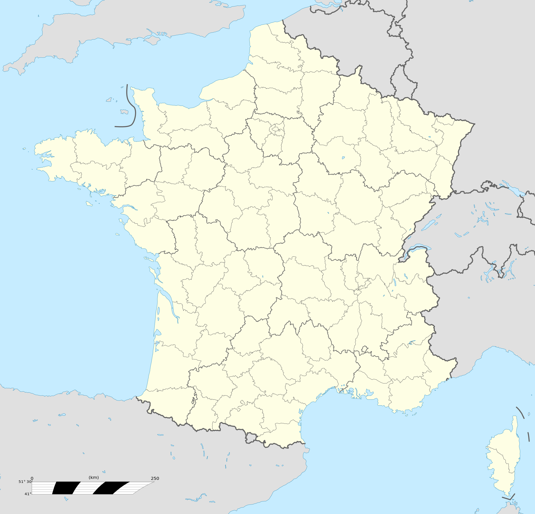
Français : Carte administrative vierge de la France destinée à la géolocalisation, avec régions et départements distingués.
Échelle approximative : 1:3 000 000
English: Blank administrative map of France for geo-location purpose, with regions and departements distinguished.
Approximate scale : 1:3,000,000
Projection équirectangulaire, données WGS84
Limites géographiques de la carte :
|
| ቀን | |
| ምንጭ |
This file was derived from: France location map-Regions and departements-2015.svg |
| አቅራቢው | Superbenjamin |
| ሌሎች ዕትሞች |
|
| SVG genesis | This locator map was created with Adobe Illustrator, and with Inkscape. This locator map uses embedded text/digits. |

የፈቃድ አይነት፦
I, the copyright holder of this work, hereby publish it under the following license:
This file is licensed under the Creative Commons Attribution-Share Alike 4.0 International license.
- You are free:
- to share – to copy, distribute and transmit the work
- to remix – to adapt the work
- Under the following conditions:
- attribution – You must give appropriate credit, provide a link to the license, and indicate if changes were made. You may do so in any reasonable manner, but not in any way that suggests the licensor endorses you or your use.
- share alike – If you remix, transform, or build upon the material, you must distribute your contributions under the same or compatible license as the original.
የፋይሉ ታሪክ
የቀድሞው ዕትም ካለ ቀን/ሰዓቱን በመጫን መመልከት ይቻላል።
| ቀን /ሰዓት | ናሙና | ክልሉ (በpixel) | አቅራቢው | ማጠቃለያ | |
|---|---|---|---|---|---|
| ያሁኑኑ | 13:46, 19 ኦክቶበር 2017 | | 2,000 × 1,922 (551 KB) | Sting | No borders over the Lake of Constance |
| 09:11, 2 ጃንዩዌሪ 2016 |  | 2,000 × 1,922 (546 KB) | Superbenjamin | User created page with UploadWizard |
መያያዣዎች
የሚከተሉ 46 ገጾች ወደዚሁ ፋይል ተያይዘዋል፦
- ለ ቪጋን፣ ጋርድ
- ሊል
- ሊዜ
- ላንግረ
- ልዮን
- መትዝ
- ሚሎ
- ሞንሶረው
- ሞንፐልዬ
- ሩቤ
- ሩዋን
- ሰን-ድዬ-ዴ-ቮዥ
- ሰንሊ፣ ዋዝ
- ሰንት፣ ፈረንሳይ
- ሳንስ፣ ረፈንሳይ
- ስትራዝቡርግ
- ሻርትረ
- ሻሰኖን
- ሾርዥ
- ቡርዥ
- ባቬ
- ብሩማት
- ብሪሜ
- ቦርዶ
- ቦቬ
- ቫን፣ ፈረንሳይ
- ቬርኖን፣ ዑር
- ቱሉዝ
- ቱል
- ኒስ
- ኒዦን
- ናርቦን፣ ፈረንሳይ
- ናንት
- ንዮን
- ኖዮን
- አርዠንቶን-ሱር-ክሮይዝ
- አርጌንቶማጉስ
- አንዤ
- ኤልን
- ካምብሬ
- ካረንታን
- ካየን
- ድርው
- ግረኖብል
- መለጠፊያ:Location map+/doc
- መለጠፊያ:Location map ፈረንሳይ
ሌሎች ውኪዎች
የሚከተሉት ሌሎች ውኪዎች ይህን ፋይል ይጠቀማሉ፦
- Usage on af.wikipedia.org
- Rugbywêreldbeker 1999
- Mont-Saint-Michel
- Quimperlé
- Dinard
- Camembert (dorp)
- Dives-sur-Mer
- Deauville
- Crécy-en-Ponthieu
- Cannes
- Villeneuve-d'Ascq
- Antibes
- Menton
- Lascaux
- Rennes-le-Château
- Aigues-Mortes
- Cluny
- La Grande-Motte
- Grasse
- Avranches
- Saint-Jean-Cap-Ferrat
- Honfleur
- Monte Carlo
- Villefranche-sur-Saône
- Arles
- Saint-Dié-des-Vosges
- Vannes
- Pontivy
- Cassis
- Neuf-Brisach
- Val Thorens
- Indre
- Neuilly-sur-Seine
- Nanterre
- Millau
- Chamonix-Mont-Blanc
- Gourdon (Alpes-Maritimes)
- Le Faou
- La Roque-Gageac
- Riquewihr
- Locronan
- Eus
- Châteauneuf-du-Pape
- Arcachon
- Saint-Jean-de-Luz
- Apt (Vaucluse)
- Auray
- Nancy
- Rugbywêreldbeker 2007
- Lens, Pas-de-Calais
- Mont Ventoux
View more global usage of this file.