ስዕል:Sudan political map 2000.jpg
ከዚህ በላይ ማጉላት አይቻልም።
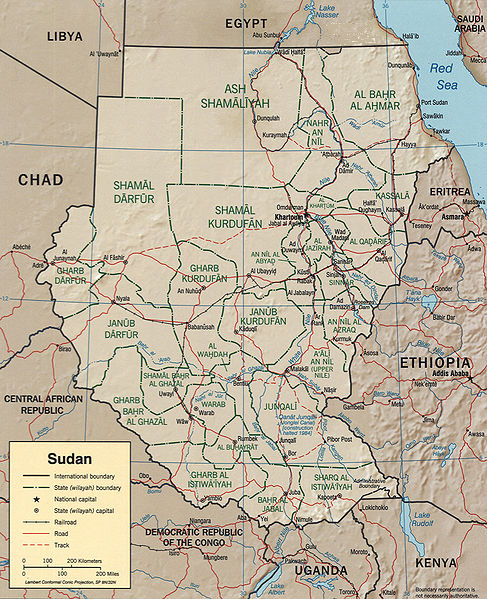
Sudan_political_map_2000.jpg (487 × 599 ፒክስል፤ መጠን፦ 342 KB፤ የMIME ዓይነት፦ image/jpeg)
CIA map of Sudan from 2000
http://hdl.loc.gov/loc.gmd/g8310.ct001564

|
This map is available from the United States Library of Congress's Geography & Map Division
under the digital ID g8310.ct001564. This tag does not indicate the copyright status of the attached work. A normal copyright tag is still required. See Commons:Licensing.
|
| This image is a work of a Central Intelligence Agency employee, taken or made as part of that person's official duties. As a Work of the United States Government, this image or media is in the public domain in the United States.
|

|
የፋይሉ ታሪክ
የቀድሞው ዕትም ካለ ቀን/ሰዓቱን በመጫን መመልከት ይቻላል።
| ቀን /ሰዓት | ናሙና | ክልሉ (በpixel) | አቅራቢው | ማጠቃለያ | |
|---|---|---|---|---|---|
| ያሁኑኑ | 10:04, 2 ፌብሩዌሪ 2017 | | 487 × 599 (342 KB) | عادل | borders correction |
| 01:18, 25 ኦክቶበር 2005 |  | 1,626 × 2,000 (1.84 MB) | Brian0918 | ||
| 00:08, 10 ጁላይ 2005 |  | 1,050 × 1,328 (210 KB) | Renamed user ixgysjijel | Political map of Sudan from 2000, from http://www.lib.utexas.edu/maps/africa/sudan_pol00.jpg {{PD}} |
መያያዣዎች
የሚከተለው ገጽ ወደዚሁ ፋይል ተያይዟል፦
ሌሎች ውኪዎች
የሚከተሉት ሌሎች ውኪዎች ይህን ፋይል ይጠቀማሉ፦
- Usage on ar.wikipedia.org
- Usage on azb.wikipedia.org
- Usage on ca.wikipedia.org
- Usage on el.wikipedia.org
- Usage on en.wikipedia.org
- Usage on eo.wikipedia.org
- Usage on es.wikipedia.org
- Usage on fa.wikipedia.org
- Usage on fi.wikipedia.org
- Usage on he.wikipedia.org
- Usage on it.wikipedia.org
- Usage on ja.wikipedia.org
- Usage on ko.wikipedia.org
- Usage on pt.wikipedia.org
- Usage on ro.wikipedia.org
- Usage on sw.wikipedia.org
- Usage on tr.wiktionary.org