ስዕል:Venezuela location map.svg

Size of this PNG preview of this SVG file: 670 × 599 pixels. Other resolutions: 268 × 240 pixels | 537 × 480 pixels | 859 × 768 pixels | 1,145 × 1,024 pixels | 2,290 × 2,048 pixels | 1,654 × 1,479 pixels.
ዋና ፋይል (የSVG ፋይል፡ በተግባር 1,654 × 1,479 ፒክስል፤ መጠን፦ 743 KB)
ማጠቃለያ
| ማጠቃለያ |
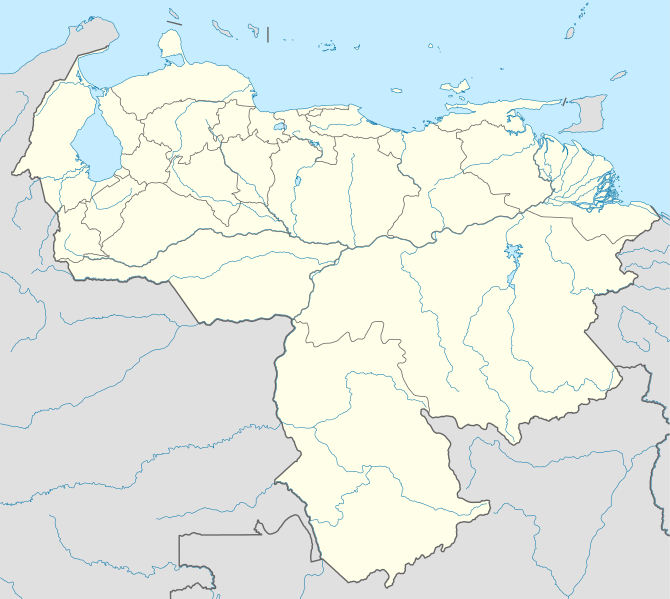
Deutsch: Positionskarte von Venezuela
Quadratische Plattkarte, N-S-Streckung 101 %. Geographische Begrenzung der Karte:
English: Location map of Venezuela
Equirectangular projection, N/S stretching 101 %. Geographic limits of the map:
|
| ቀን | |
| ምንጭ |
Own work, using
|
| አቅራቢው | NordNordWest |
| የማብዛት ፈቃድ (Reusing this file) |
I, the copyright holder of this work, hereby publish it under the following license: This file is licensed under the Creative Commons Attribution-Share Alike 3.0 Unported license.
|
| ሌሎች ዕትሞች |
Derivative works of this file: Venezuela relief location map.jpg
|

.svg)
.jpg)

|
This map has been made or improved in the German Kartenwerkstatt (Map Lab). You can propose maps to improve as well.
|
የፋይሉ ታሪክ
የቀድሞው ዕትም ካለ ቀን/ሰዓቱን በመጫን መመልከት ይቻላል።
| ቀን /ሰዓት | ናሙና | ክልሉ (በpixel) | አቅራቢው | ማጠቃለያ | |
|---|---|---|---|---|---|
| ያሁኑኑ | 19:38, 21 ሴፕቴምበር 2009 | | 1,654 × 1,479 (743 KB) | NordNordWest | =={{int:filedesc}}== {{Information |Description= {{de|Positionskarte von Venezuela}} Quadratische Plattkarte, N-S-Streckung 101 %. Geographische Begrenzung der Karte: * N: 12.8° N * S: 0.4° N * W: 73.6° W * O: 59.6° W {{en|Location m |
መያያዣዎች
የሚከተሉ 2 ገጾች ወደዚሁ ፋይል ተያይዘዋል፦
ሌሎች ውኪዎች
የሚከተሉት ሌሎች ውኪዎች ይህን ፋይል ይጠቀማሉ፦
- Usage on af.wikipedia.org
- Usage on als.wikipedia.org
- Usage on an.wikipedia.org
- Caracas
- Maracaibo
- Valencia (Venezuela)
- Maracay
- Barquisimeto
- San Cristóbal (Venezuela)
- La Guaira
- Ciudat Bolívar
- Maturín
- Mérida (Venezuela)
- Los Teques
- Barinas (ciudat)
- Coro (Venezuela)
- San Juan de Los Morros
- La Asunción
- San Felipe (Venezuela)
- Trujillo (Venezuela)
- Puerto Ayacucho
- Cumaná
- Barcelona (Venezuela)
- Guanare
- Tucupita
- San Fernando de Apure
- San Carlos (Venezuela)
- Puerto La Cruz
- Puerto Cabello
- Ciudat Guayana
- San Fernando de Atabapo
- Ciudat Ojeda
- Cabimas
- Lechería
- Isla Ratón
- Plantilla:Mapa de localización Venezuela
- Guasdualito
- Colonia Tovar
- Urica
- Usage on ast.wikipedia.org
- Usage on awa.wikipedia.org
- Usage on az.wikipedia.org
- Usage on ba.wikipedia.org
- Usage on be-tarask.wikipedia.org
View more global usage of this file.