ስዕል:Sanjak of Novibazar.png

Size of this preview: 531 × 600 pixels. Other resolutions: 212 × 240 pixels | 425 × 480 pixels | 786 × 888 pixels.
ዋና ፋይል (786 × 888 ፒክስል፤ መጠን፦ 75 KB፤ የMIME ዓይነት፦ image/png)
ማጠቃለያ
| ማጠቃለያ |
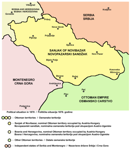
English: Map of the Sanjak of Novibazar, nominal territory of the Ottoman Empire under Austro-Hungarian occupation in 1878.
Српски / srpski: Mapa Novopazarskog sandžaka, nominalne teritorije Osmanskog carstva pod Austro-Ugarskom okupacijom 1878. godine. |
| ቀን | 23 ሜይ 2006 (original upload date) |
| ምንጭ | Own work |
| አቅራቢው | PANONIAN |
Source
Made by PANONIAN, Uploaded in Commons by Lohe.
የፈቃድ አይነት፦
self-made map by user:PANONIAN
| I, the copyright holder of this work, release this work into the public domain. This applies worldwide. In some countries this may not be legally possible; if so: I grant anyone the right to use this work for any purpose, without any conditions, unless such conditions are required by law. |
References
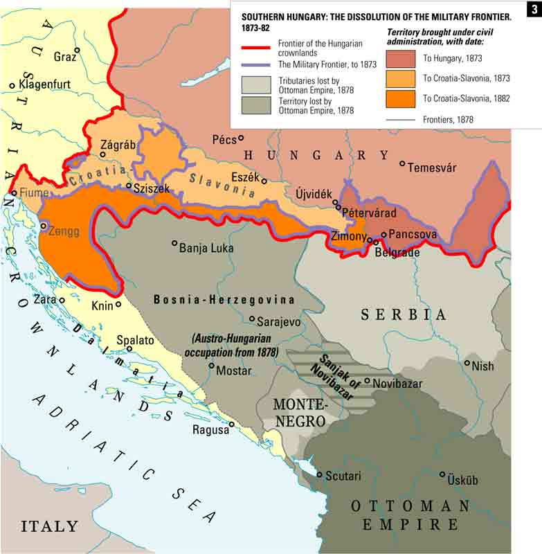
- http://terkepek.adatbank.transindex.ro/kepek/netre/258.gif
- http://www.historyonmaps.com/ColourSamples/cbig/DissolutionMilitayFrontier.jpg
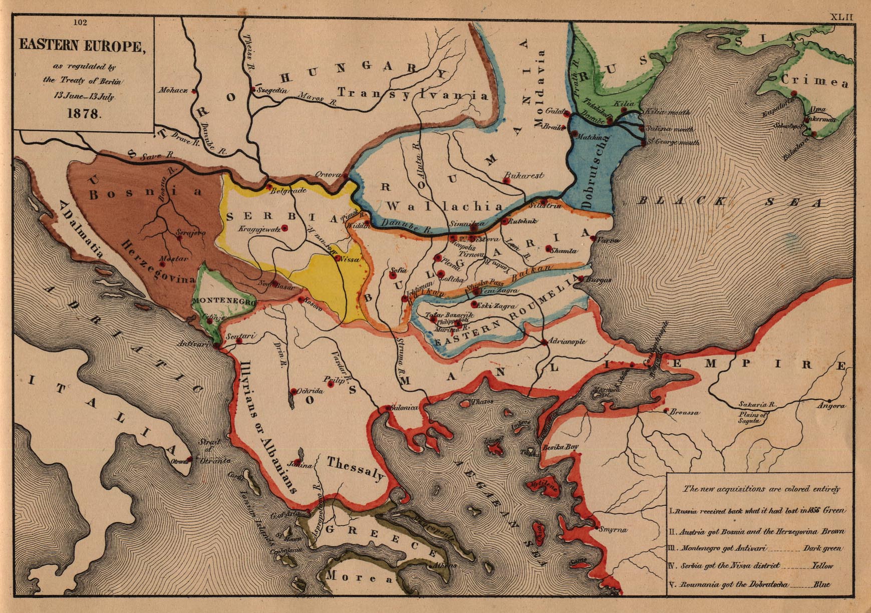
- http://www.lib.utexas.edu/maps/historical/eastern_europe1878.jpg
- http://images.nationmaster.com/images/motw/historical/balkans_1912.jpg
- http://maps.grida.no/library/files/storage/balkans-history-_003.png
- The Times History of Europe, Times Books, London, 2002.
- Istorijski atlas, Geokarta, Beograd, 1999.
- Školski istorijski atlas, Zavod za izdavanje udžbenika SR Srbije, Beograd, 1970.
- Povijesni atlas, Učila - Zagreb, Zagreb, 1971.
- Denis Šehić - Demir Šehić, Istorijski atlas sveta, Beograd, 2007.
የፋይሉ ታሪክ
የቀድሞው ዕትም ካለ ቀን/ሰዓቱን በመጫን መመልከት ይቻላል።
| ቀን /ሰዓት | ናሙና | ክልሉ (በpixel) | አቅራቢው | ማጠቃለያ | |
|---|---|---|---|---|---|
| ያሁኑኑ | 10:57, 25 ኦክቶበር 2010 | | 786 × 888 (75 KB) | PANONIAN | improved version |
| 19:08, 23 ሜይ 2006 |  | 758 × 534 (8 KB) | Lohe | Map of the Sanjak of Novibazar, historical territory belonging to the Ottoman Balkans in the 19th century. Made by en:User:PANONIAN Uploaded in Commons by it:Utente:Lohe |
መያያዣዎች
የሚከተለው ገጽ ወደዚሁ ፋይል ተያይዟል፦
ሌሎች ውኪዎች
የሚከተሉት ሌሎች ውኪዎች ይህን ፋይል ይጠቀማሉ፦
- Usage on arz.wikipedia.org
- Usage on bg.wikipedia.org
- Usage on ca.wikipedia.org
- Usage on de.wikipedia.org
- Usage on el.wikipedia.org
- Usage on en.wikipedia.org
- Usage on fr.wikipedia.org
- Usage on gl.wikipedia.org
- Usage on hr.wikipedia.org
- Usage on it.wikipedia.org
- Usage on mk.wikipedia.org
- Usage on no.wikipedia.org
- Usage on sh.wikipedia.org
- Usage on sq.wikipedia.org