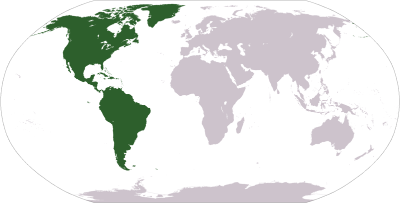
ስዕል:LocationAmericas.png

Size of this preview: 800 × 407 pixels. Other resolutions: 320 × 163 pixels | 640 × 326 pixels | 1,024 × 521 pixels | 1,280 × 651 pixels | 2,759 × 1,404 pixels.
ዋና ፋይል (2,759 × 1,404 ፒክስል፤ መጠን፦ 99 KB፤ የMIME ዓይነት፦ image/png)
የፋይሉ ታሪክ
የቀድሞው ዕትም ካለ ቀን/ሰዓቱን በመጫን መመልከት ይቻላል።
| ቀን /ሰዓት | ናሙና | ክልሉ (በpixel) | አቅራቢው | ማጠቃለያ | |
|---|---|---|---|---|---|
| ያሁኑኑ | 12:31, 19 ጃንዩዌሪ 2008 |  | 2,759 × 1,404 (99 KB) | F l a n k e r | Transparency |
| 19:11, 12 ኦክቶበር 2005 |  | 2,759 × 1,404 (55 KB) | E Pluribus Anthony~commonswiki | World map: Americas (location) | |
| 15:06, 29 ኤፕሪል 2005 |  | 1,377 × 699 (16 KB) | Ghalas | Extracted from CIA World Factbook PDF world map, then rasterized and colored. {{PD-USGov-CIA-WF}} |
መያያዣዎች
ወዲህ ፋይል የተያያዘ ገጽ የለም።
ሌሎች ውኪዎች
የሚከተሉት ሌሎች ውኪዎች ይህን ፋይል ይጠቀማሉ፦
- Usage on als.wikipedia.org
- Usage on ar.wikipedia.org
- البحر الأبيض المتوسط
- آسيا
- أوروبا
- قارة
- المحيط الهندي
- المحيط الهادئ
- القارة القطبية الجنوبية
- أوقيانوسيا
- حضارة المايا
- أمريكا الشمالية
- أمريكا الجنوبية
- أوروبا الشرقية
- القطب الشمالي
- أوروبا الوسطى
- أوروبا الشمالية
- القوقاز
- شمال إفريقيا
- بحر
- تاريخ أمريكا الشمالية
- المنطقة القطبية الجنوبية
- المحيط المتجمد الشمالي
- القرن الإفريقي
- غرب آسيا
- آسيا الوسطى
- جنوب آسيا
- شرق آسيا
- جنوب شرق آسيا
- المحيط الجنوبي
- الكاريبي
- أمريكا الوسطى
- جزر الأنتيل
- أوروبا الغربية
- شرق إفريقيا
- ميلانيزيا
- بولنيزيا
- ميكرونيسيا
- بوابة:آسيا
- بوابة:أوروبا
- بوابة:الأمريكيتان
- أمريكا اللاتينية
- غرب إفريقيا
- العالم الجديد
- الشرق الأدنى
- الشعوب الأصلية في الأمريكتين
- القطب الجنوبي
- محيط (جغرافيا)
- الأمريكتان
- شبه القارة الهندية
- الاستعمار الأوروبي للأمريكيتين
View more global usage of this file.


