ስዕል:Ethiopia location map.svg

Size of this PNG preview of this SVG file: 740 × 600 pixels. Other resolutions: 296 × 240 pixels | 593 × 480 pixels | 948 × 768 pixels | 1,264 × 1,024 pixels | 2,528 × 2,048 pixels | 1,844 × 1,494 pixels.
ዋና ፋይል (የSVG ፋይል፡ በተግባር 1,844 × 1,494 ፒክስል፤ መጠን፦ 711 KB)
ማጠቃለያ
| ማጠቃለያ |
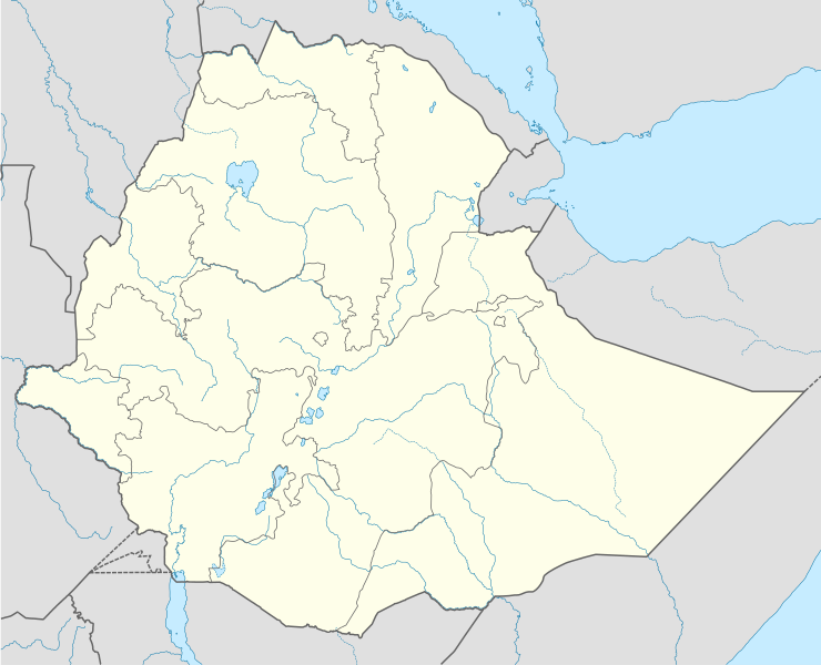
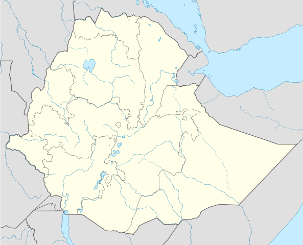
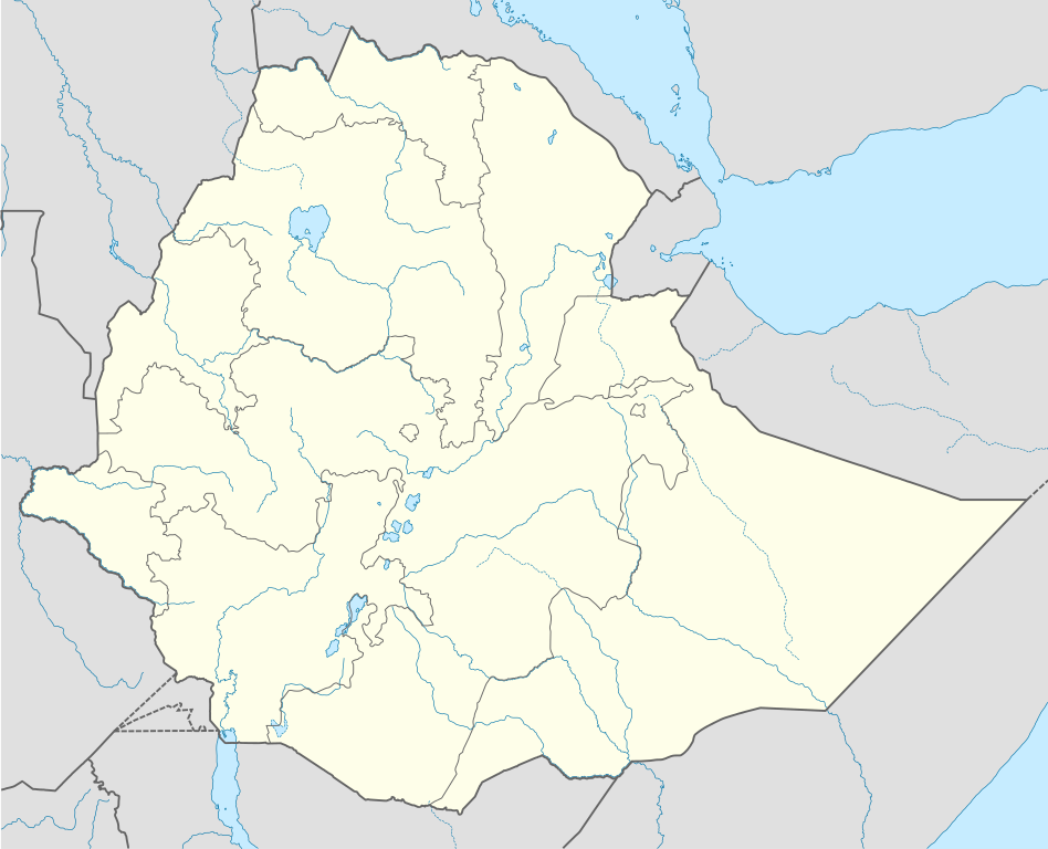
Deutsch: Positionskarte von Äthiopien
Quadratische Plattkarte, N-S-Streckung 102 %. Geographische Begrenzung der Karte:
English: Location map of Ethiopia
Equirectangular projection, N/S stretching 102 %. Geographic limits of the map:
|
| ቀን | |
| ምንጭ |
Own work, using
|
| አቅራቢው | NordNordWest |
| የማብዛት ፈቃድ (Reusing this file) |
I, the copyright holder of this work, hereby publish it under the following license: This file is licensed under the Creative Commons Attribution-Share Alike 3.0 Unported license.
|
| ሌሎች ዕትሞች |
|


|
This map has been made or improved in the German Kartenwerkstatt (Map Lab). You can propose maps to improve as well.
|
የፋይሉ ታሪክ
የቀድሞው ዕትም ካለ ቀን/ሰዓቱን በመጫን መመልከት ይቻላል።
| ቀን /ሰዓት | ናሙና | ክልሉ (በpixel) | አቅራቢው | ማጠቃለያ | |
|---|---|---|---|---|---|
| ያሁኑኑ | 22:52, 12 ኦክቶበር 2021 | | 1,844 × 1,494 (711 KB) | Gebagebo | Added dotted line for Somaliland |
| 14:20, 23 ሜይ 2012 |  | 1,844 × 1,494 (704 KB) | NordNordWest | upd | |
| 17:55, 10 ጁላይ 2011 |  | 1,843 × 1,494 (349 KB) | NordNordWest | upd | |
| 19:29, 11 ሴፕቴምበር 2009 |  | 1,843 × 1,494 (587 KB) | NordNordWest | =={{int:filedesc}}== {{Information |Description= {{de|Positionskarte von Äthiopien}} Quadratische Plattkarte, N-S-Streckung 102 %. Geographische Begrenzung der Karte: * N: 15.3° N * S: 2.9° N * W: 32.7° O * O: 48.3° O {{en|Location |
መያያዣዎች
ወዲህ ፋይል የተያያዘ ገጽ የለም።
ሌሎች ውኪዎች
የሚከተሉት ሌሎች ውኪዎች ይህን ፋይል ይጠቀማሉ፦
- Usage on af.wikipedia.org
- Usage on an.wikipedia.org
- Usage on ar.wikipedia.org
- Usage on arz.wikipedia.org
- Usage on be-tarask.wikipedia.org
- Usage on bg.wikipedia.org
- Usage on bn.wikipedia.org
- Usage on bs.wikipedia.org
- Usage on ce.wikipedia.org
- Usage on ckb.wikipedia.org
- Usage on de.wikipedia.org
- Usage on eo.wikipedia.org
- Usage on es.wikipedia.org
- Usage on fa.wikipedia.org
- Usage on fr.wikipedia.org
- Usage on he.wikivoyage.org
View more global usage of this file.