ስዕል:Egypt location map.svg

Size of this PNG preview of this SVG file: 650 × 599 pixels. Other resolutions: 260 × 240 pixels | 520 × 480 pixels | 833 × 768 pixels | 1,110 × 1,024 pixels | 2,221 × 2,048 pixels | 1,055 × 973 pixels.
ዋና ፋይል (የSVG ፋይል፡ በተግባር 1,055 × 973 ፒክስል፤ መጠን፦ 324 KB)

|
The boundaries on this map show the de facto situation. This is just one of several different views on the subject (see COM:NPOV). |
ማጠቃለያ
| ማጠቃለያ |
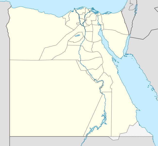
Deutsch: Positionskarte von Ägypten
Quadratische Plattkarte, N-S-Streckung 111,8685 %. Geographische Begrenzung der Karte:
English: Location map of Egypt
Equirectangular projection, N/S stretching 111.8685 %. Geographic limits of the map:
|
| ቀን | 10-08-2008 |
| ምንጭ |
own work, using
|
| አቅራቢው | NordNordWest |
| ሌሎች ዕትሞች |
Derivative works of this file:
|


|
This map has been made or improved in the German Kartenwerkstatt (Map Lab). You can propose maps to improve as well.
|
የፈቃድ አይነት፦
I, the copyright holder of this work, hereby publish it under the following licenses:

|
Permission is granted to copy, distribute and/or modify this document under the terms of the GNU Free Documentation License, Version 1.2 or any later version published by the Free Software Foundation; with no Invariant Sections, no Front-Cover Texts, and no Back-Cover Texts. A copy of the license is included in the section entitled GNU Free Documentation License. |
This file is licensed under the Creative Commons Attribution-Share Alike 3.0 Unported license.
- You are free:
- to share – to copy, distribute and transmit the work
- to remix – to adapt the work
- Under the following conditions:
- attribution – You must give appropriate credit, provide a link to the license, and indicate if changes were made. You may do so in any reasonable manner, but not in any way that suggests the licensor endorses you or your use.
- share alike – If you remix, transform, or build upon the material, you must distribute your contributions under the same or compatible license as the original.
You may select the license of your choice.
የፋይሉ ታሪክ
የቀድሞው ዕትም ካለ ቀን/ሰዓቱን በመጫን መመልከት ይቻላል።
| ቀን /ሰዓት | ናሙና | ክልሉ (በpixel) | አቅራቢው | ማጠቃለያ | |
|---|---|---|---|---|---|
| ያሁኑኑ | 21:35, 12 ፌብሩዌሪ 2013 | | 1,055 × 973 (324 KB) | NordNordWest | upd |
| 16:03, 17 ኤፕሪል 2011 |  | 1,055 × 973 (351 KB) | NordNordWest | upd | |
| 17:03, 7 ማርች 2010 |  | 1,055 × 973 (553 KB) | NordNordWest | resize | |
| 10:48, 3 ሴፕቴምበር 2009 |  | 1,055 × 956 (552 KB) | NordNordWest | ||
| 19:10, 23 ሜይ 2009 |  | 1,056 × 959 (557 KB) | NordNordWest | corr | |
| 11:12, 10 ኦገስት 2008 |  | 1,056 × 957 (491 KB) | NordNordWest | {{Information |Description= {{de|Positionskarte von Ägypten}} Quadratische Plattkarte, N-S-Streckung 110 %. Geographische Begrenzung der Karte: * N: 32.1° N * S: 21.3° N * W: 24.2° O * O: 37.3° O {{en|Location map of [[:en:Egypt|Egyp |
መያያዣዎች
ሌሎች ውኪዎች
የሚከተሉት ሌሎች ውኪዎች ይህን ፋይል ይጠቀማሉ፦
- Usage on af.wikipedia.org
- Usage on als.wikipedia.org
- Usage on ar.wikipedia.org
- كأس الأمم الإفريقية 2006
- كأس الأمم الإفريقية 1986
- حمام مصري
- قالب:خريطة مواقع مصر
- كأس العالم تحت 20 سنة لكرة القدم 2009
- سد الكفرة
- كأس الأمم الإفريقية 2019
- الدوري المصري الممتاز 2015–16
- الدوري المصري الممتاز 2016–17
- البطولة العربية لكرة القدم النسائية 2006
- هجوم بئر العبد (أكتوبر 2016)
- كأس العالم تحت 19 سنة لكرة السلة 2017
- البطولة العربية للأندية 2016–17
- الدوري المصري الممتاز 2017–18
- قائمة ملاعب كرة القدم في مصر
- الدوري المصري الممتاز 2018–19
- الدوري المصري الممتاز 2019–20
- تصنيف:مسلسلات تلفزيونية مصرية تقع أحداثها في الصعيد
- مطار البردويل الدولي
- قاعدة الإسماعيلية الجوية
- قاعدة العامرية الجوية
- قاعدة الضبعة الجوية
- قاعدة كبريت الجوية
- جبل سيناء (مكان مقدس)
- الدوري المصري الممتاز 2020–21
- مرسى ثلمت
- كأس العرب لكرة الصالات 2021
- رأس مسلة
- الدوري المصري الممتاز 2021–22
- راس عسران
- راس بكر
- مرسى أم موريكا
- شرم المية
- رأس نصراني
- جزر القلعان
- أرض الهبوط 174
- مطار سيدي حنيش
- مطار فايد
- قاعدة أبو صوير الجوية
- كبريت (السويس)
- الدوري المصري الممتاز 2022–23
- جزيرة جوبال
- الدوري المصري الممتاز 2023–24
- رأس دهيسة
View more global usage of this file.