ስዕል:Bulgaria location map.svg

Size of this PNG preview of this SVG file: 800 × 505 pixels. Other resolutions: 320 × 202 pixels | 640 × 404 pixels | 1,024 × 646 pixels | 1,280 × 808 pixels | 2,560 × 1,615 pixels | 1,642 × 1,036 pixels.
ዋና ፋይል (የSVG ፋይል፡ በተግባር 1,642 × 1,036 ፒክስል፤ መጠን፦ 275 KB)
ማጠቃለያ
| ማጠቃለያ |
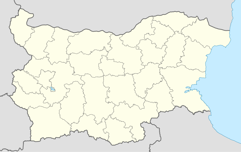
Deutsch: Positionskarte von Bulgarien
Quadratische Plattkarte, N-S-Streckung 130 %. Geographische Begrenzung der Karte:
English: Location map of Bulgaria
Equirectangular projection, N/S stretching 130 %. Geographic limits of the map:
|
| ቀን | 05-08-2008 |
| ምንጭ |
own work, using
|
| አቅራቢው | NordNordWest |
| ሌሎች ዕትሞች |
Derivative works of this file:
|
.svg)

|
This map has been made or improved in the German Kartenwerkstatt (Map Lab). You can propose maps to improve as well.
|
የፈቃድ አይነት፦
I, the copyright holder of this work, hereby publish it under the following licenses:

|
Permission is granted to copy, distribute and/or modify this document under the terms of the GNU Free Documentation License, Version 1.2 or any later version published by the Free Software Foundation; with no Invariant Sections, no Front-Cover Texts, and no Back-Cover Texts. A copy of the license is included in the section entitled GNU Free Documentation License. |
This file is licensed under the Creative Commons Attribution-Share Alike 3.0 Unported license.
- You are free:
- to share – to copy, distribute and transmit the work
- to remix – to adapt the work
- Under the following conditions:
- attribution – You must give appropriate credit, provide a link to the license, and indicate if changes were made. You may do so in any reasonable manner, but not in any way that suggests the licensor endorses you or your use.
- share alike – If you remix, transform, or build upon the material, you must distribute your contributions under the same or compatible license as the original.
You may select the license of your choice.
የፋይሉ ታሪክ
የቀድሞው ዕትም ካለ ቀን/ሰዓቱን በመጫን መመልከት ይቻላል።
| ቀን /ሰዓት | ናሙና | ክልሉ (በpixel) | አቅራቢው | ማጠቃለያ | |
|---|---|---|---|---|---|
| ያሁኑኑ | 18:28, 6 ኦክቶበር 2010 | | 1,642 × 1,036 (275 KB) | NordNordWest | upd |
| 18:23, 12 ኦገስት 2009 |  | 1,536 × 970 (204 KB) | Пакко | fixed Iskar Lake | |
| 18:12, 3 ኦገስት 2009 |  | 1,534 × 967 (207 KB) | Пакко | fixed some borders according to current administrative division | |
| 18:52, 25 ኦገስት 2008 |  | 1,645 × 1,038 (297 KB) | NordNordWest | size correction | |
| 12:25, 12 ኦገስት 2008 |  | 548 × 346 (291 KB) | NordNordWest | corrected | |
| 20:30, 5 ኦገስት 2008 |  | 548 × 346 (289 KB) | NordNordWest | {{Information |Description= {{de|Positionskarte von Bulgarien}} Quadratische Plattkarte, N-S-Streckung 130 %. Geographische Begrenzung der Karte: * N: 44.4° N * S: 41.1° N * W: 22.1° O * O: 28.9° O {{en|Location map of [[:en:Bulgaria |
መያያዣዎች
የሚከተሉ 2 ገጾች ወደዚሁ ፋይል ተያይዘዋል፦
ሌሎች ውኪዎች
የሚከተሉት ሌሎች ውኪዎች ይህን ፋይል ይጠቀማሉ፦
- Usage on af.wikipedia.org
- Usage on als.wikipedia.org
- Usage on an.wikipedia.org
- Usage on ar.wikipedia.org
- Usage on arz.wikipedia.org
- Usage on ast.wikipedia.org
- Burgas
- Sofía
- Varna
- Plovdiv
- Veliko Tarnovo
- Stara Zagora
- Pleven
- Vidin
- Asenovgrad
- Montes Rila
- Sredna Gora
- Ruse
- Catedral d'Alexandre Nevski de Sofía
- Módulu:Mapa de llocalización/datos/Bulgaria
- Aeropuertu de Burgas
- Aeropuertu de Plovdiv
- Aeropuertu de Sofía
- Aeropuertu de Varna
- Puertu de Burgas
- Puertu de Varna
- Módulu:Mapa de llocalización/datos/Bulgaria/usu
- Usage on azb.wikipedia.org
View more global usage of this file.